Showing posts with label tracking. Show all posts

Sunday, March 09, 2008

Hitch #10: Pacific Crest Trail Monitoring

For our 10th hitch my crew was tasked with monitoring/inventorying the Pacific Crest Trail (PCT). We split into two teams to cut the amount of trail to monitor into two 47 miles sections. Rosy and I volunteered for the southern section which was supposed to be tougher because of the lack of water sources, the heat and the numerous OHV (off-highway vehicle) intrusions on the trail. That left Miz, Monika and Kevin for the northern section. The plan was to meet at a spring in between the two starting points in 5 days.

A map I made of Rosy's and my trip using the GPS data we collected. I plotted the OHV intrusions (yellow dots) to give you and idea of how bad a problem it is.


Our packs were heavy because we had to carry water for two and a half days for drinking and cooking. Our first guaranteed water was 22 miles from the start. Adding more weight was the extra gear we had to take to perform the monitoring including the GPS device with extra batteries and charging equipment, a heavy two way radio and a thick pack of paper to take notes on. To add even more weight we had to carry a sizable first aid kit and water filter. Our saving grace was that after 32 miles we crossed a major highway where we left our truck with half our water, food and gear. The other crew had to carry everything from the start although they split gear between three people and didn't have to carry as much water since there were more water sources.

The first day we met at the field office and talked with the BLM folk about the mission. After all the discussion, planning and driving we made it to the trailhead at about 2:30pm. We got in about 5 miles that afternoon which was nice because that day didn't count towards our 5 days. We realized that night that neither of us knew how to work our stove very well. Either that or the pump was broken. We never got it to work during the trip. We opted to make a small cooking fire instead which worked well. We also realized that our radio didn't work so we wouldn't be able to communicate for our 6pm check-in with the other team.

The next day we headed from the valley into the hills. It wasn't long before we were stopping every 50-100 meters to collect data on an OHV intrusion. You can see in the map above the mass of yellow dots between the first two camp sites. It was really ridiculous how many there were. If we were really to mark every one we would have stopped even more frequently.

Dirtbikers tearing up a whole new area! They are considered the greatest threat to the Desert if not all wilderness areas in the US.


It was often a challenge to stay on the PCT because OHVers had made it indistinguishable from their trails in many places. We came to a small hill that had a route on either side and one going straight over. Since there was no route marker we choose the right path which ended up being the wrong route. After awhile we discovered this and found our way back to the trail.

Also in this area there were many trail washouts. The trail was completely gone due to erosion. Most washouts occurred in a sandy section where it is nearly impossible to maintain a trail. It was not easy walking through these with heavy packs.

One of the 23 washouts we hiked through and documented. The whole trail is sloped with no horizontal surface to walk on and in the middle you can't even see signs of a trail anymore.


Near the end of the day we approached a higher elevation (>5000 ft) area and came across our first snow. Since we got to it late in the day it was soft and we sunk in most steps we took.

Rosy knee deep


Fortunately, we were able to find a pretty nice clearing to set up camp. As we were running low on water we improvised and melted snow for our cooking water and a little to drink as well.

Night 2 camp site


The following day we started out in the higher elevation pine forest with hopes that we'd seen the last of the OHV intrusions. At this point we had entered the radius of the burn area from the August 07 fire. Unfortunately the OHV intrusions didn't cease. As it turns out OHVers like to destroy forests as well as deserts!

Many OHV intrusions and burned up signs combined for a very hard to find trail. At one point we found ourselves at a dead end looking down a very steep slope and we knew at that point we weren't on the trail anymore. We looked out into the distance and saw that the trail was actually about 300 meters away on the next ridge. We decided to stop taking line data at that point until we were back on the trail. In the map above you can see the break in the red line between night 2 and 3.

In the afternoon we descended out of the mountains and into an extremely windy valley where there were hundreds of wind turbines. Here we arrived at our first water source. Originally we had planned to camp there but we got there early and since it was cold and windy, sitting around camp wouldn't be fun. We hiked on into the wind. It was about 4pm although the cloud cover made it seem like dusk when we found a refuge from the wind. We camped in a perfect ditch/wash with a large thicket for a wind block and firewood.

The morning we had a short 5 mile hike to highway 58 where our vehicle was stashed. Unfortunately our GPS battery died so didn't get data for that stretch. We made it to the truck before 10 AM and gorged ourselves on extra food we had stashed there. Since we only had 16 more miles to the rendezvous point and two days to get there we decided to take the rest of the day off. We spent the night at a county park in the mountains where we had a hell of a time starting a fire. The wood was so damp from the snow melt that it took us three tries to get one going even with the stove gas. Even then we had to constantly fan it to keep it going. Thankfully we only needed to bring water to a boil for the meal we ate.

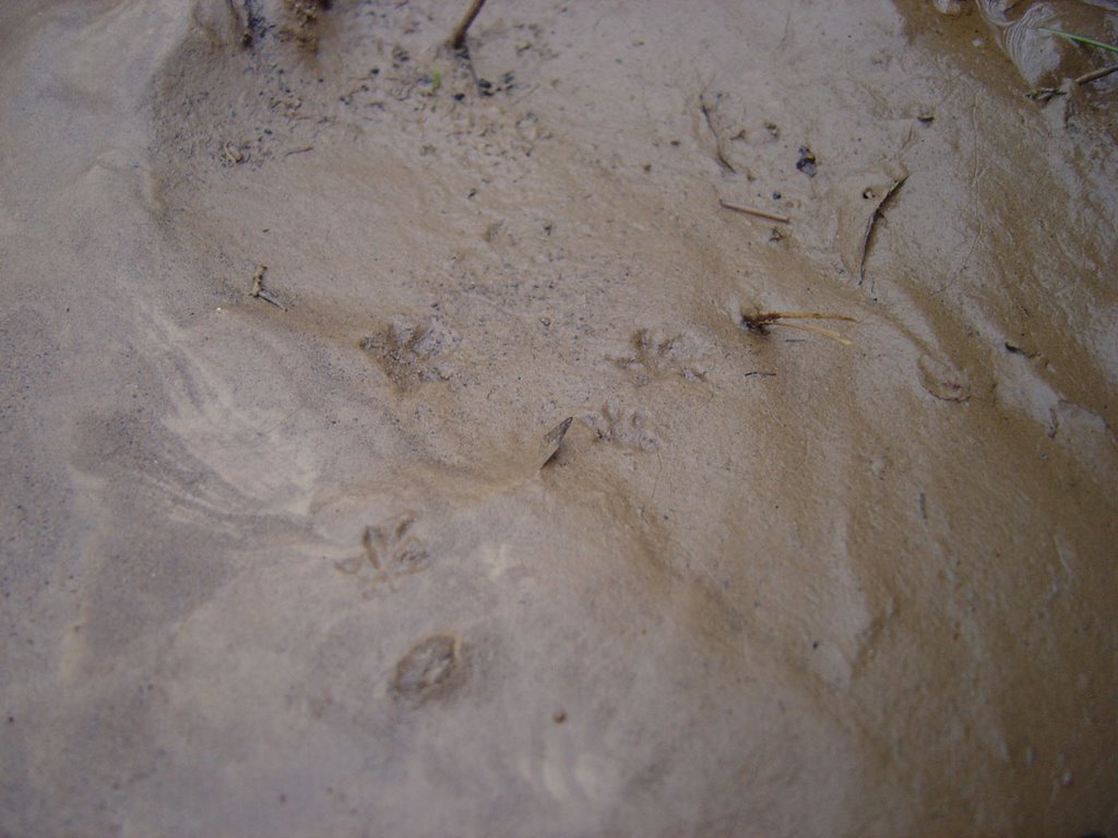
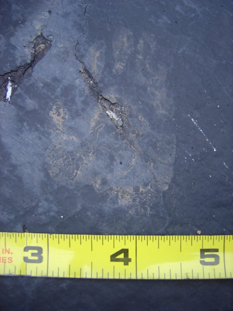
The next morning we drove back to 58 and started the last leg of our journey. After a 1 mile flat section the next 6 miles were uphill. Eventually the trail leveled off as we hiked along a ridge. At one point on the trail we came across some interesting tracks. They were about 3 inches long and wide. I saw no claw marks present so I determined that they were Mountain Lion tracks. I didn't take the time to take a really good picture, but maybe you can see a track in the picture below.

A Mountain Lion track?


The next day we hiked 5 miles to the rendezvous point arriving early at about 10 AM. The original plan was for us all to hike 16 miles back to our vehicle at 58 the following morning. We arrived early hoping that the other team would be there too so we could knock off some miles making the final day less than 16 miles.

When we got to the meeting point it was a relief to see their camp set up. After all we hadn't communicated with them as planned for 5 days since our radio didn't work. They were however no where to be found. We sat around all day waiting for them. We were a little upset that they blew our chance to cut our 16 mile day down to 10 or 12.

When they finally came back we heard their interesting story. It turns out that 20 miles into their trip they were in such deep snow that they routinely lost the trail and had wet, cold feet all day. The final straw was when they woke up and there boots and socks were frozen stiff. They had to start a fire to thaw them out. They bailed on the assignment and hitchhiked to their truck. The beautiful part was that their truck was parked a quarter mile up the road from the rendezvous point so we didn't have to hike the 16 miles to our truck at all.

We drove out and I ate 4 Arby's roast beef sandwiches.

The End

Friday, February 08, 2008

Hitch #8: North Algodones Dunes

The work we did on this hitch was water monitoring again so I wasn't going to post about it, but it was kinda awesome because we spent one day in sand dunes.


It was one of my favorite days of hiking because the weather was warm enough to go shirtless and shoeless. The sand felt so nice on my feet. Another cool thing about the dunes is how easy it is to track animals there. One rabbit we spooked left a pretty amazing trail with a distance of 10 feet or more between one set of tracks. The most common things we saw were beetles that left a trail that looked like a bicycle track.


Rosy and I spent a lot of time playing around in the dunes. Some were 25 feet or more tall. I liked to jump off them knowing that I'd have a soft landing.


It was cool to finally experience the type of ecosystem so often thought of when the word "desert" comes to mind.

Calling the rain

Today I hope to finish my new moccassins which I will post about next.

Tuesday, April 18, 2006

By Request - The Answers

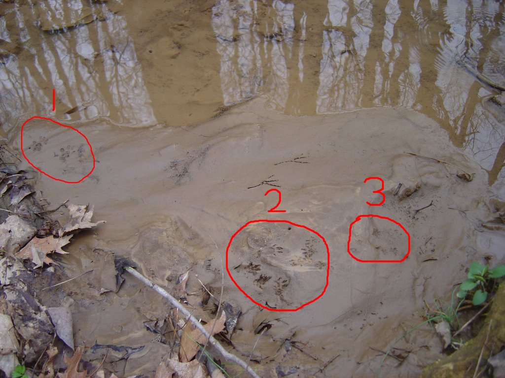
By request, I bring you details about my My First Spring Weekend post. Below you'll see the original picture I posted, but enlarged. I circled the three sets of tracks.


1. Squirrel - When I first saw these tracks I was a little confused because they are pretty wide apart and also pretty far from the water to be a squirrel. But, if you picture what a squirrel would look like if it were laying down and stretching to get water it makes sense. It would naturally spread it's legs apart wider for balance. Imagine how your hands are when you're doing a pushup.


2. Chipmunk - At the bottom are four really well defined chipmunk tracks. On top is another set of tracks going the opposite way. There may also be some mouse tracks in there.


3. Mouse - Mice leave little star shaped tracks. Cute, ain't they?


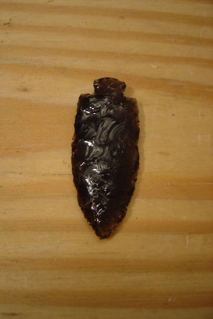
Also, I give you the profile picture of my obsidian point. I think I was able to get it pretty thin. It might not be a 10/1 width/thickness ratio, but it ain't bad.

Also notice how well groomed my fingernails are. :)

Tuesday, April 04, 2006

My first Spring weekend

I had a pretty nature packed weekend. As I said in my last post, I've been listening to a lecture series on bird language. To learn it I'm supposed to find a sit area to visit as often as possible. This means once a day if I can manage. After work Friday I stopped by Broad Ripple park on my way home. It is a five minute drive from my house. Most of the park is open field where people play sports. On the northern edge there is a stream that feeds into the White River which comprises the park's western border.

The lecturer said a good sit area should have some or all of these characteristics:
  • Convenient - If it's not convenient, I won't go very often.
  • Close to water - Water attracts animals
  • In a transistion area - This is an area on the edge of a forest. Animals like to have cover so they avoid open fields and forests where there is no ground cover.
  • A place with a view - If I want to see animals I can't be sitting in a thicket especially when the plants start to grow leaves.
I knew that the stream area could satisfy all these criteria. It has a transition area on both sides of it. On the park side it is next to a path that people frequent with their dogs so I expect that I'll be able to learn a lot about how birds react to people and dogs. On the other side there is more open field and then houses.

As I looked around the stream I started looking for candidate sit areas. One big advantage of this stream is that it is about 10 ft. lower than the rest of the park. There is a steep slope that is perfect for sitting on to get a higher view point of the area. I looked for awhile for different spots. Finally, I walked to a spot and as I reentered the thicket, a robin flew up and landed on a branch about 6 ft. from me as if to welcome me. I looked across the river and saw three squirrels playing. This was my sign that I'd found the right sport. As I walked down the slope to have a look, I found out how perfect it was. It was the only spot I found where my view was completely unobstructed. I could see all the way to the river. I was also at the bend of the stream where I'm hoping some animals will visit.

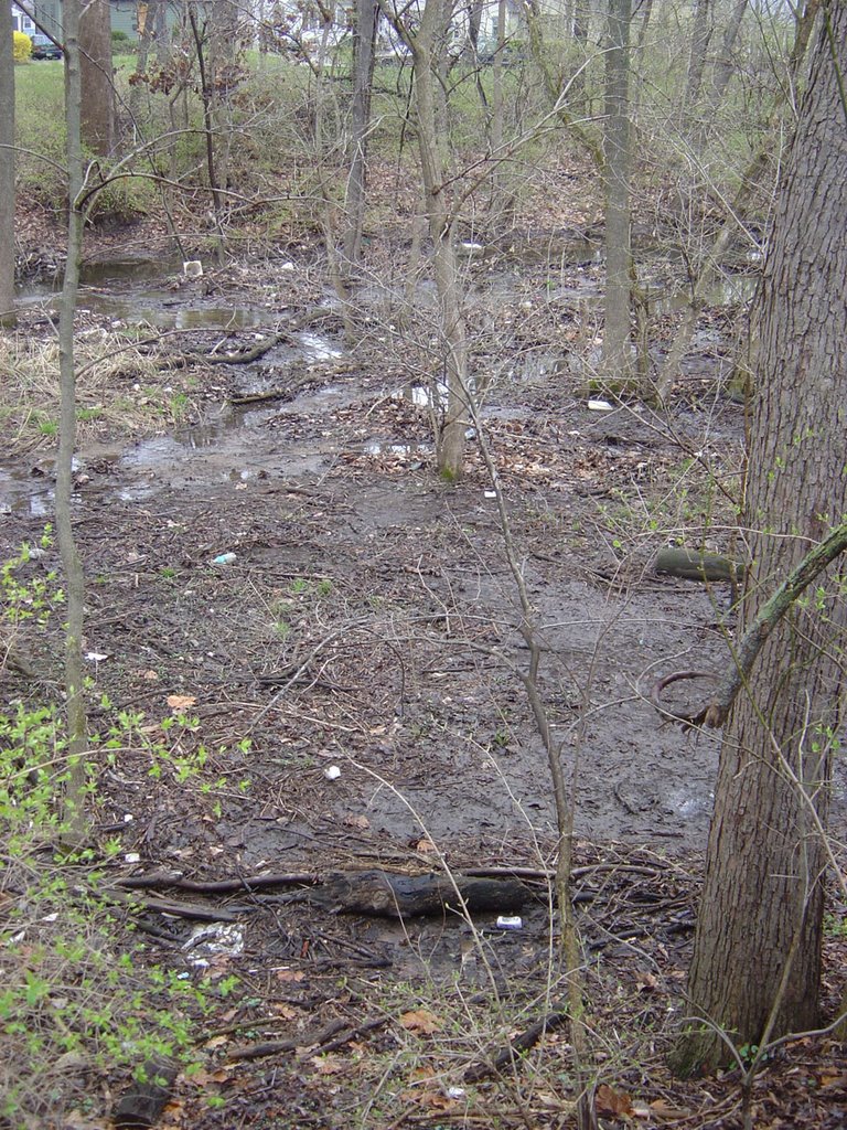
There was only one problem with the place. There was trash everywhere. I thought there was no way I was going to be able to enjoy this spot if I was looking at bottles and cans. I decided that before I could even begin learning, I needed to clean the place up. That would have to wait till Sunday.

This is a picture of one area that is pretty bad. There's even a pilon in the stream!


Saturday I drove to Bloomington for a tracking club meeting. There were only three of us since it was an extra meeting on short notice. They usually meet every other Sunday. We met at a nature preserve on the north side. We spent three hours identifying birds, trees and animal tracks and sign. It was cool to id some trees without relying on leaves. We found one small two square foot patch of mud next to a stream that had three different species of mammal tracks in it.

See if you can find the three species of animal tracks in this photo. The fake bird tracks do not count. Post a reply with your answers.


Sunday I went to Lowe's and bought one of those tools for picking up litter so I wouldn't have to bend down. I drove to the park and began picking up trash. I thought it would only take a couple hours to clean the whole place up. I greatly underestimated how much trash there was. At times I could literally stand in one spot and spend five minutes picking up trash within reach. It became clear as I continued that no one had ever cleaned the place up before. I found pepsi and beer cans that were so old they had the pull off tabs to open them. The mouth of the can looked like a tear drop not like the wide mouth cans we're used to. These have to be more than 20 years old. There were a lot of other interesting items I picked up: 3 different sandals, a cell phone, and a lego to name a few. The cell phone had scotch tape holding in the battery so I'm guessing this person finally dropped their cell phone for the last time or got so pissed with it that they threw it into the woods.

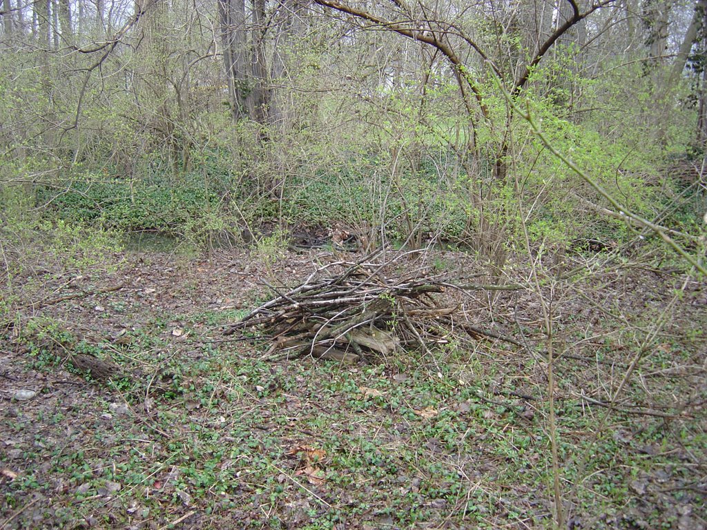
Last August I took a week long class on caretaking and have been meaning to find a place to caretake. While I was at the park I decided that this stream would also be my caretaking project. I spent part of my time doing some other general caretaking. I made a small stick pile from dead branches. Most of the branches had fallen on living plants and all were found within 30 feet of the pile. So I was able to help other plants by removing heavy branches, clear a blocked trail and hopefully build a home for a small animal. In the end, I filled two garbage bags with enough trash that I could barely carry them. I think I cleaned up about 30% of the place. I have more work to do.


As if I hadn't done enough over the weekend, I finished Sunday off by completing my first obsidian arrow point. I also practiced the hand drill. I still haven't gotten a coal, but I'm close. I also got my first bow drill coal with the new firebow I made as seen in this previous post.

My first obsidian point

Monday, January 23, 2006

Mystery Track 1

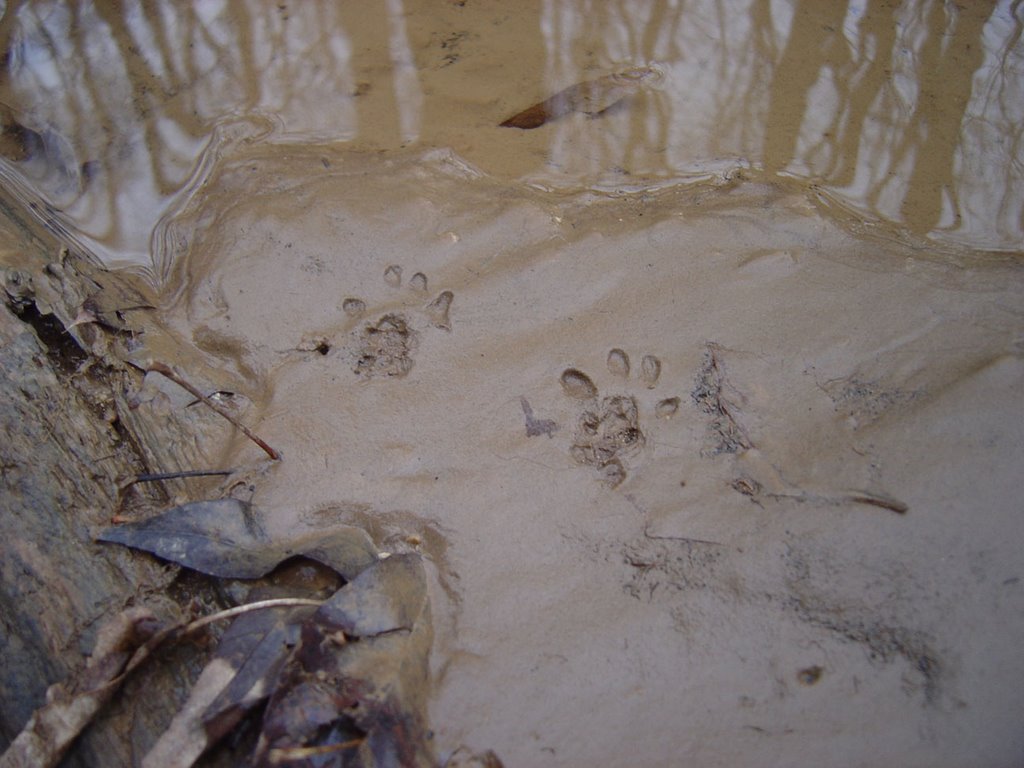
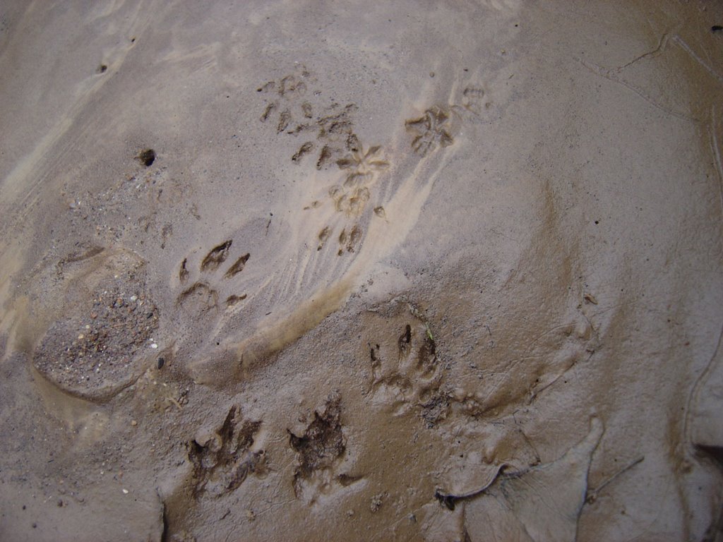
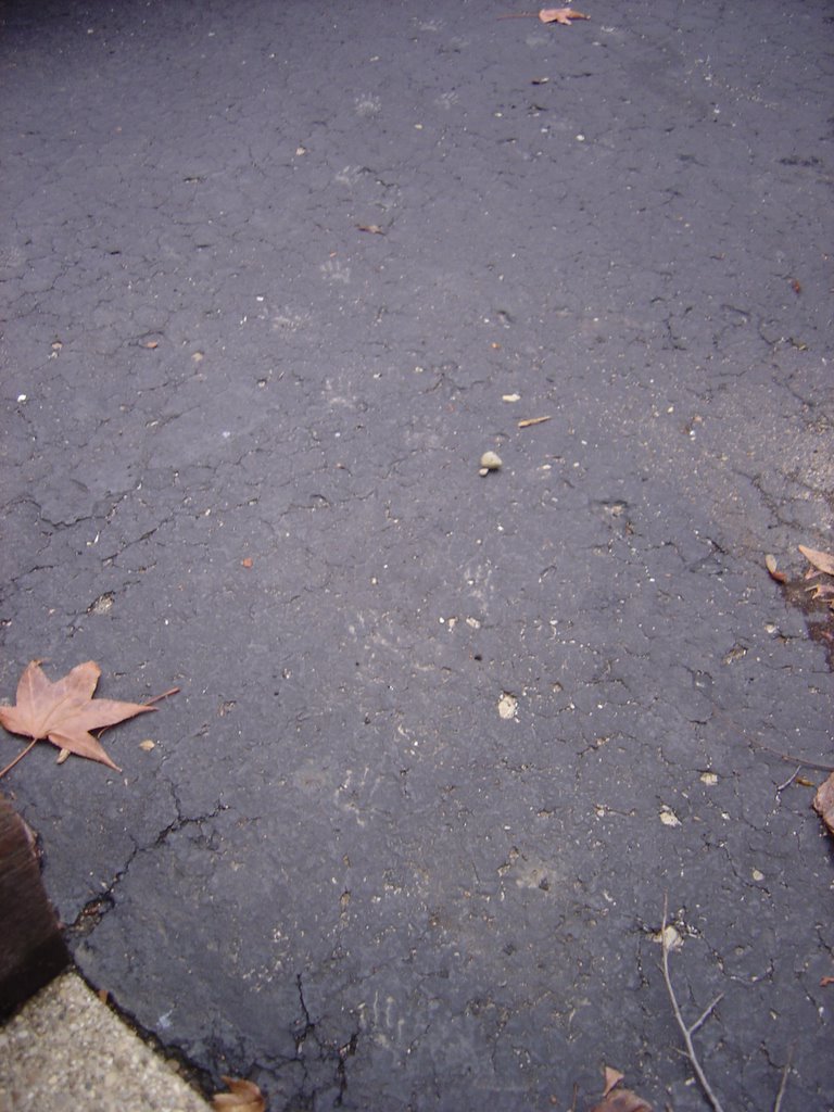
After a rain a week ago I saw a lot of mud tracks on my driveway. I used the opportunity to take some pictures. I'm hoping this will be the start of a series where you my loyal readers get to guess what animal made the track. I didn't get all the track and trail measurements, but this one should be pretty easy.


Here is the trail.


Here is a rear track.

Post a comment on what type of animal made this track. I'll post the answer later.

Tuesday, January 03, 2006

Christmas Time Skills

I had a great Christmas break. Because the weather was so nice I got to spend a lot of time outdoors. My brother made me a new bow from Osage Orange wood.
It is quite an awesome gift. With two bows my good friend Jon and I spent 2+ hours shooting together. It was a blast.

I also had some time to do some tracking around the area. I found a heavily used dear trail. Right before the trail exited into open area, I found a kill. I determined it to be a rabbit on account of finding the cottontail at the kill site. There was also a big patch of torn off skin left behind. Little did I know at the time that this was a foreshadowing of what was to come on Christmas day. I looked for a long time on several trails but I could not find any tracks besides deer. In the end I had to assume that the predator was a coyote. I know they are in the area and my mom said she heard one a few nights before.

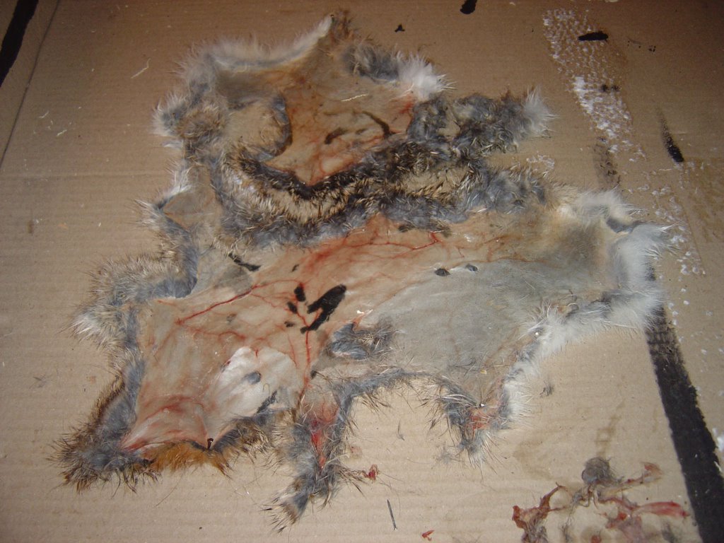
On my way to church Christmas morning, there was a roadkill rabbit a few houses down the road from my parents' house. It was easy to tell that the kill happened that morning. After church I picked it up. Last night I skinned it. The skin is so thin that I ripped it in several places. I'm not sure if I'll be able to finish tanning it.

As you can see, I wasn't able to get all the fat off of it yet.

Stay tuned. My next post will be an update of the progress of my bow.